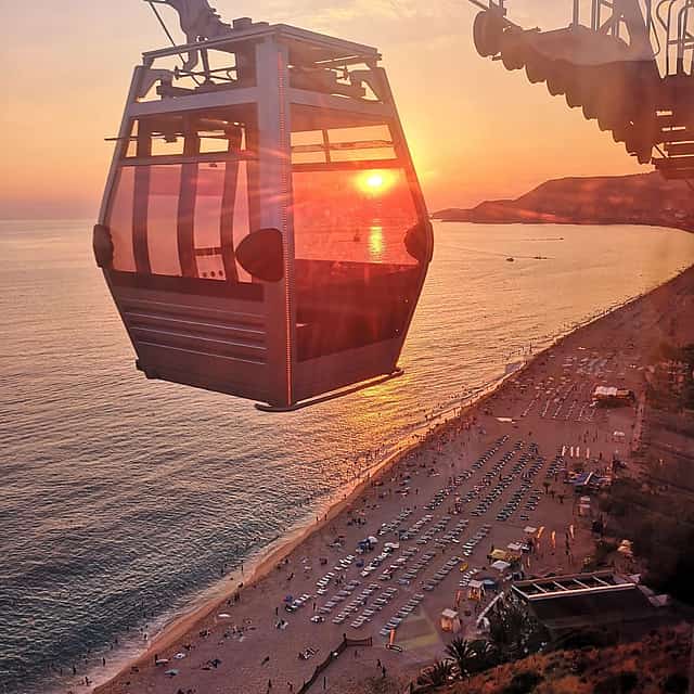

Antalya sits on a Mediterranean bay under the Bey Mountains, with a city beach on each side of the old town. Konyaaltı, to the west, is pebble and ends where the mountains drop into the sea; Lara, to the east, is sand under a cliff line. The sea is warm about seven months: near 21 degrees in May, 25 in June, close to 28 in July and August, 24 in October, 17 from January to March.
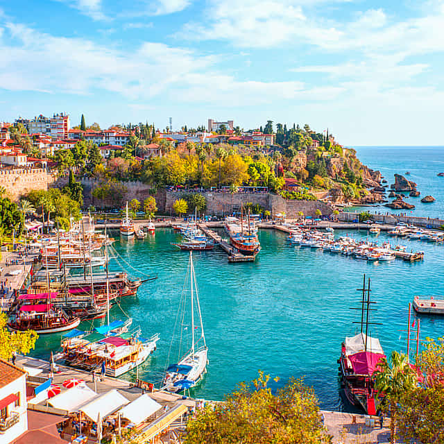
Boats leave the harbour below Kaleiçi, the walled old town, and the short circuit runs east along the cliffs to the lower Düden waterfall, which falls off a rock face into the sea. Longer days reach Kekova, two to three hours by road southwest, where a Lycian settlement sank after earthquakes and its walls show through clear water; sea kayaks work the shoreline above them, stopping at Üçağız or Kaleköy. Divers work reefs and wrecks offshore, clearest from June to October; parasailing is towed behind a boat off both beaches.
Boat and diving trips run from April into November; in July and August highs reach the mid-thirties, so early starts are easier. A harbour cruise takes one to two hours, a Kekova day adds about five hours of driving. Prices cover crew and pick-up in the centre, rarely lunch or drinks; diving includes equipment, and a first dive with an instructor needs no certificate. Swimming and diving over the protected sunken city are banned. Parasailing and jet skis carry weight limits and a minimum age. Check that pick-up reaches your hotel: Belek, Side and Kemer lie well outside the city.
Water in nearby cities
Discover other Water
 Request only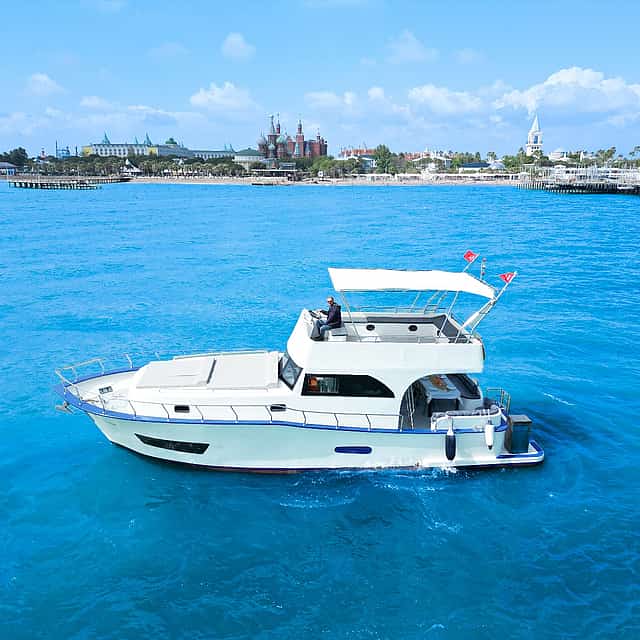
Antalya District, Turkey
Antalya Private Yacht Tour with Delicious Lunch & VIP Transfer Service Included
5 hours
12 views recently
From€745.63/ person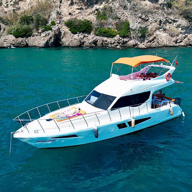
Antalya District, Turkey
Antalya Private Yacht Tour with Jacuzzi. Lunch & VIP Transfer Included
6 hours
From€857.02/ person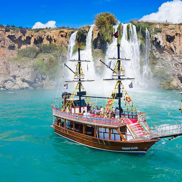
Antalya District, Turkey
Antalya Relax Boat Tour. Waterfall and Beach Visit, Including Lunch and Non-Alcoholic Beverages
6 hours
From€22.73/ person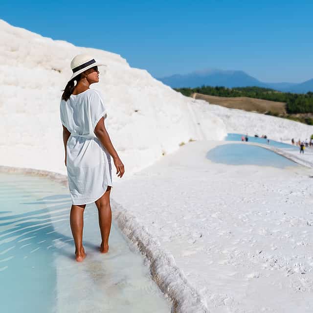
Kemer, Turkey
Lake Salda (Turkish Maldives) and Pamukkale with Ancient Hierapolis – 1 Day Tour from Kemer
17 hours
From€50.46/ person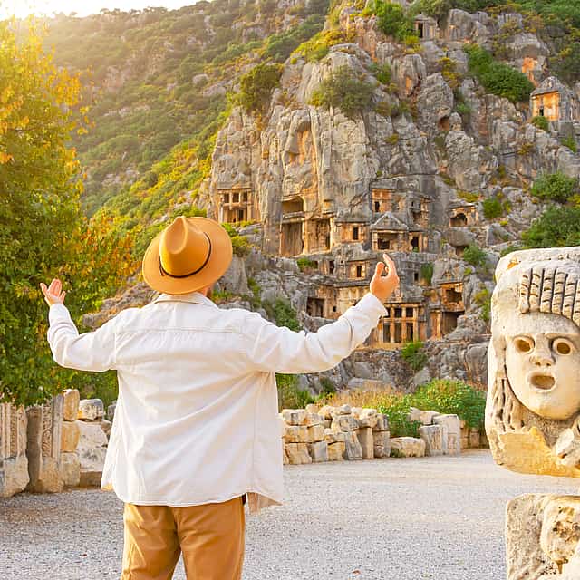
Kekova Island, Side, Antalya District, Turkey
Demre Myra Kekova Boat Tour: Sunken Island, Lycian Tombs & St. Nicholas Church from Belek
15 hours
10 views recently
From€63.73/ person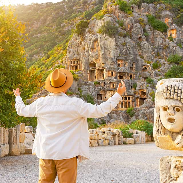
Kekova Island, Side, Antalya District, Turkey
Demre Myra Kekova Boat Tour: Sunken Island, Lycian Tombs & St. Nicholas Church from Kemer
10 hours
From€48.68/ person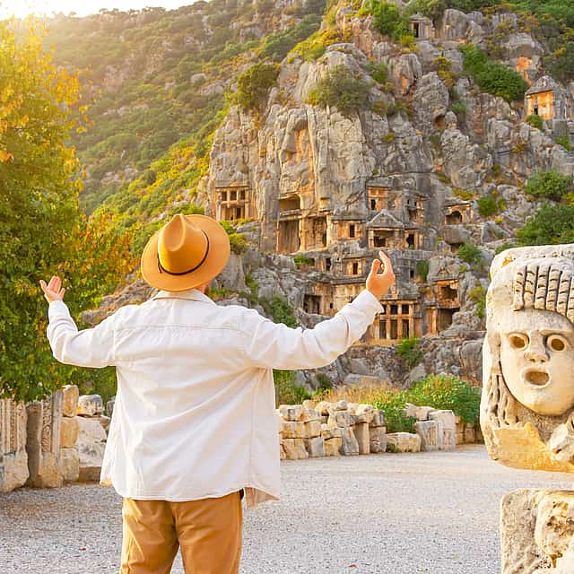
Kekova Island, Side, Antalya District, Turkey
Demre Myra Kekova Boat Tour: Sunken Island, Lycian Tombs & St. Nicholas Church from Antalya
15 hours
12 views recently
From€63.73/ person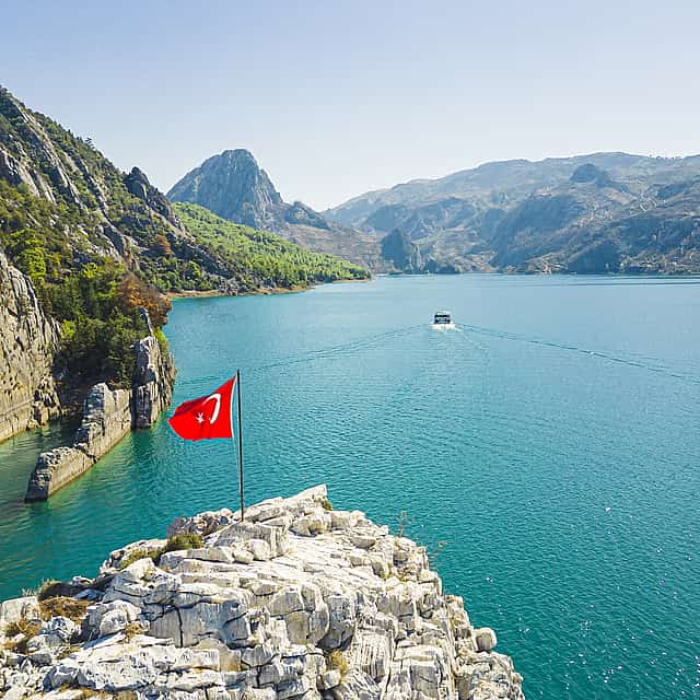
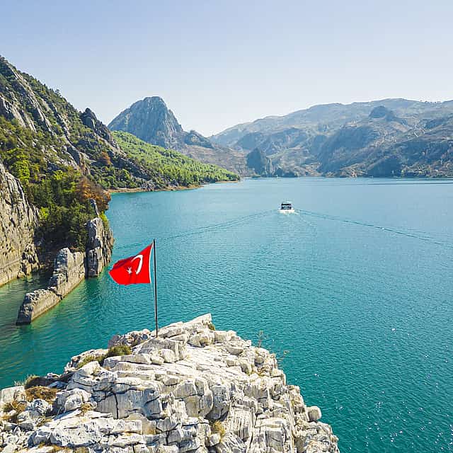
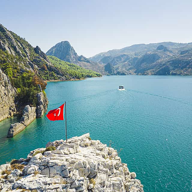
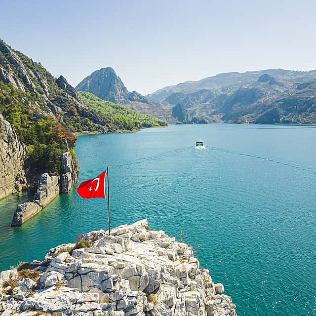
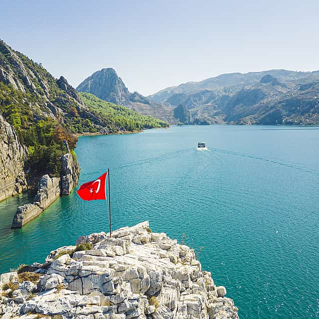
Alanya, Turkey
Malachite Kingdom: Green Canyon Boat Tour from Alanya
8 hours
12 views recently
From€29.21/ person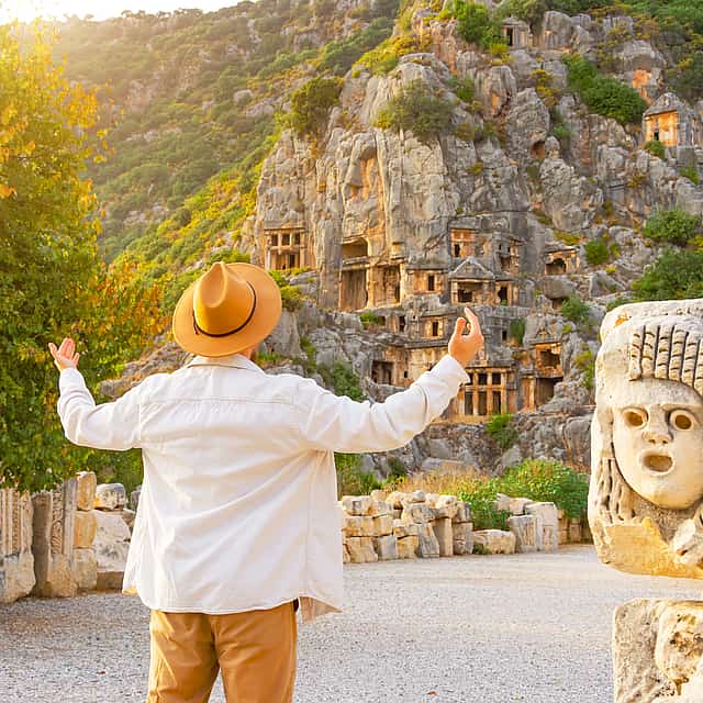
Kekova Island, Side, Antalya District, Turkey
Demre Myra Kekova Boat Tour: Sunken Island, Lycian Tombs & St. Nicholas Church from Side
16 hours
12 views recently
From€63.73/ person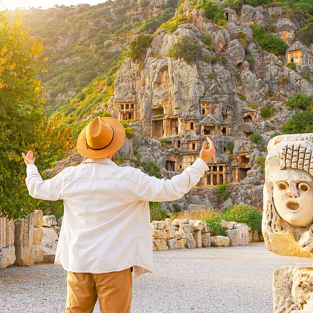
Kekova Island, Side, Antalya District, Turkey
Demre Myra Kekova Boat Tour: Sunken Island, Lycian Tombs & St. Nicholas Church from Alanya
17 hours
From€63.73/ person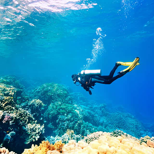
More things to do in Antalya District
Can’t find the right experience?
Tell us what you are planning and local hosts will send options tailored to your dates, group and budget.